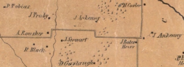
Continue east on Kemp Road through two 90° curves. The rural land in this area was settled by the Ferguson, Stewart, Gerlaugh, Ankeney and Tobias Families and later some was purchased by the Howard, Greene and Bates’. Near the second set of 90° curves are several large-tract estate lots.
On the left is the 80+ acre ‘Russ Property’ that was the homestead of local businessman and philanthropist Fritz Russ. He donated his land to Greene County, it's now known as the 'Russ Nature Reserve'.


